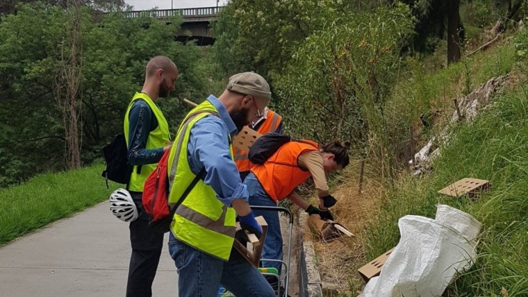
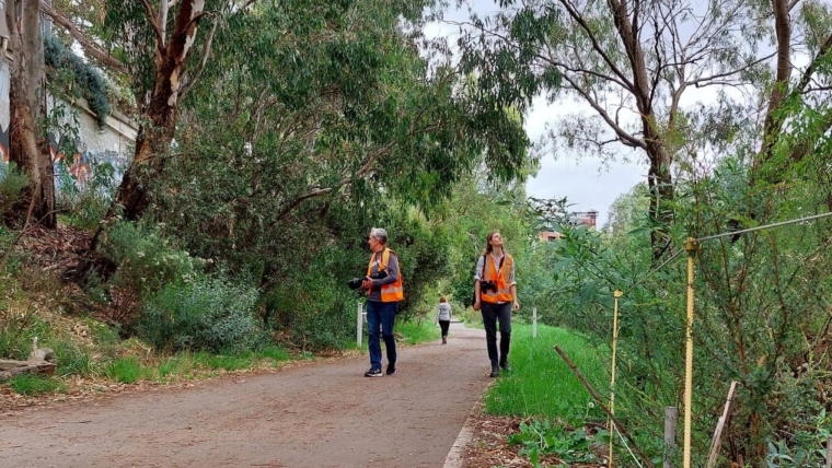
Riverbanking begins with an inspiring site walk! You’ll be introduced to best-practice techniques and moving safely around this hazardous area. We’ll share lots of background, giving you a great foundation for caring for our beloved riverlands and helping them heal the way Nature intended.


